Nevada's topography makes state forester role interesting

Key Takeaways
What’s a forest chief to do in a state with few forests?
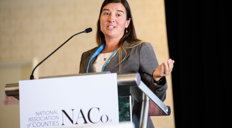
A lot, as Kacey KC found out as Nevada’s state forester explained.
The Silver State is 70,700 acres, but 86 percent is owned by federal agencies, with more land in tribal hands, leaving about 11.5 percent of the state’s area.
“I’m the state forester but I don’t have a state forest,” she told the Public Lands Steering Committee. “I do have some land in state parks.”
Though shared stewardship seems like a new buzzword, its essence is all she has known in her professional life.
“We’ve always talked about the need to work together on these issues,” she said. “But it’s exciting that it’s getting all this attention right now, because we have all the right people in all the right place to actually implement it, rather than just talking about it.”
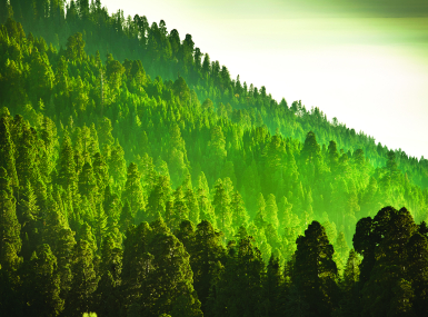
Though 8.5 million acres of the state is forested, it’s not traditional timber or marketable timber.
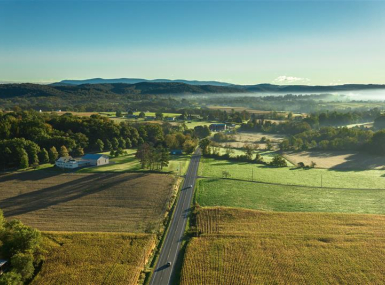
KC’s domain is 82 percent rangeland.
“We’re a lot more than forest, even though our badge is a forest and a tree, we really are range managers and watershed managers,” she said.
Many parts of our state are vast grasslands now, where we’ve lost forest and rangeland and become primarily cheatgrass.
As Nevada approaches 2020, the department of forestry will have to update its natural resource strategy, which identifies priority landscapes and threats they face and how the state and its partners will face those threats.
Those threats are catastrophic fire and subsequent invasive species.
Fire has always played a role in the state’s ecosystem, but a fire suppression effort has caused some rangelands and forest to be overstocked.
From 1980-1999, 40 acres burned, and in the following 19 years, 9.5 million acres burned, with 2.3 million acres burning in last two years.
“It’s becoming more devastating to our landscapes and our ecosystems,” she said. “They used to mainly be caused by lightning, now they’re mainly human-caused. We are educating people that the ecosystems that they’re seeing out there are not what they were 15 years ago and the same the things they were doing, recreating in these areas can’t be done now.”

Attachments
Related News
Next step on PILT requires more outreach
Facing headwinds on making PILT funding permanent, county veteran Rep. Celeste Maloy (R-Utah) told county officials to reach out to any member of Congress who will listen.

Counties receive first Secure Rural Schools payments after program is reauthorized
On February 20, the U.S. Forest Service (USFS) announced that counties across the country will receive payments through the Secure Rural Schools (SRS) program for the first time in nearly two years. The release of payments will deliver critical relief to timber-dependent counties that rely on these funds to maintain essential services as they transition toward long-term fiscal stability.

House Agriculture Committee introduces 2026 Farm Bill
On February 13, House Agriculture Committee Chairman G.T. Thompson (R-Pa.-15) introduced the House version of the 2026 Farm Bill, the Farm, Food, and National Security Act of 2026.
